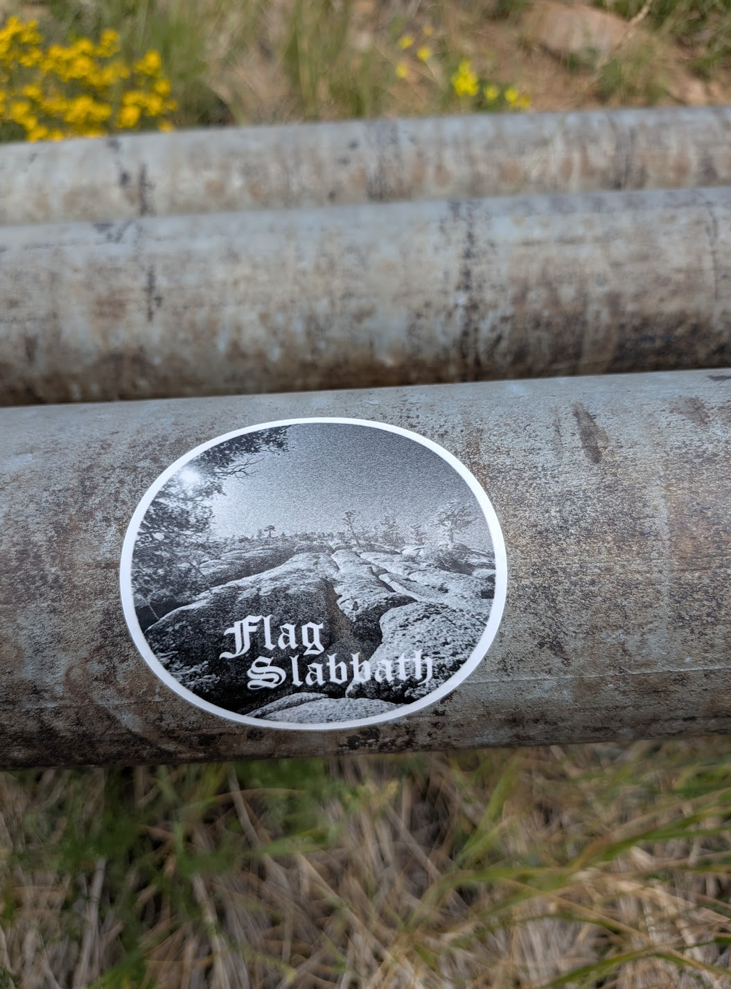
Flag Slabbath
Get ready for another way to punish your calves – it's time to tackle Blue-Dot's nearest neighbor, the Slabs route.
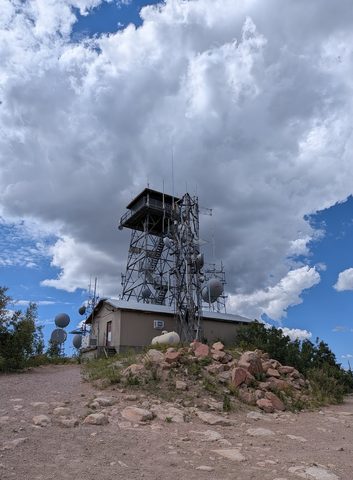
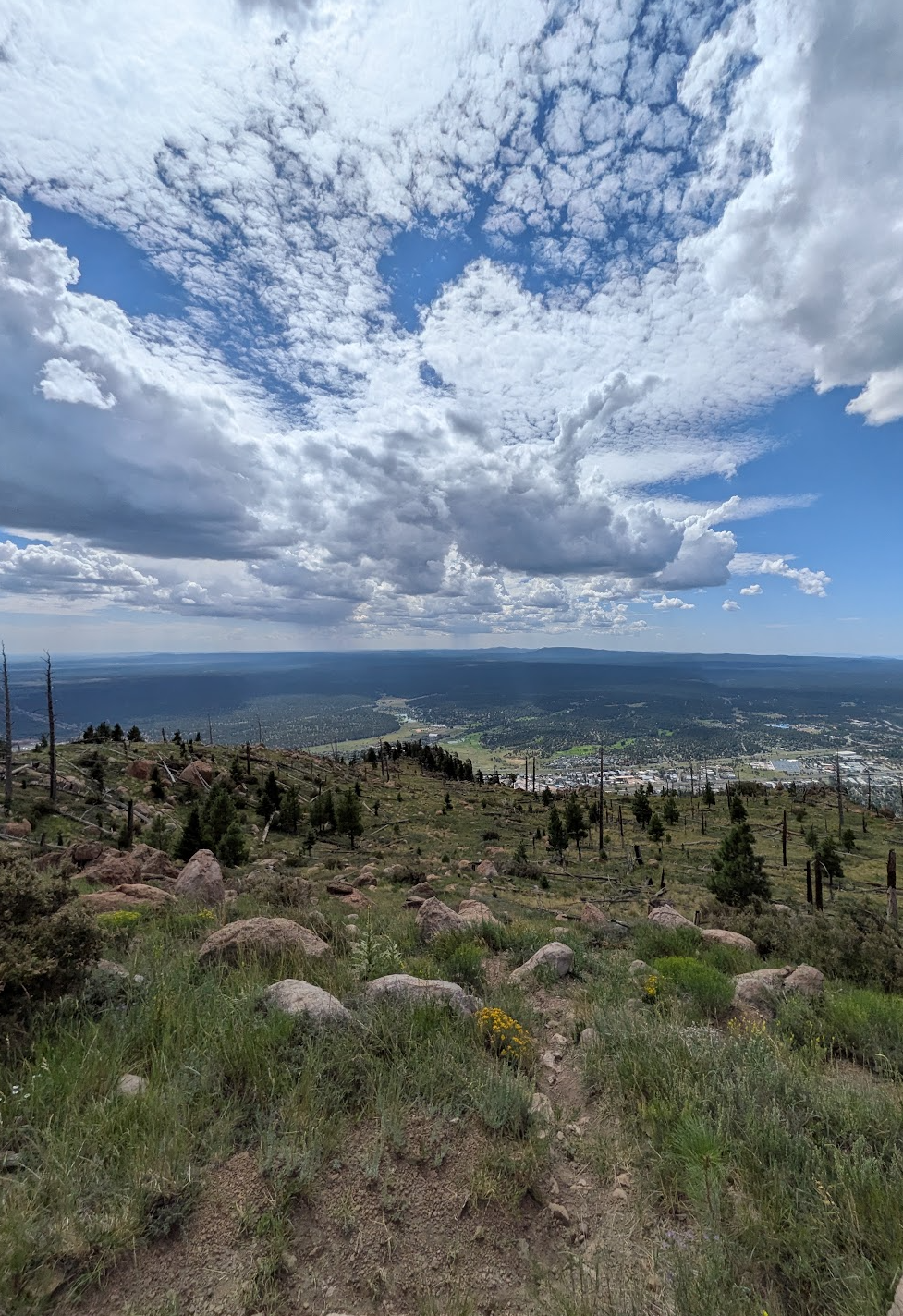
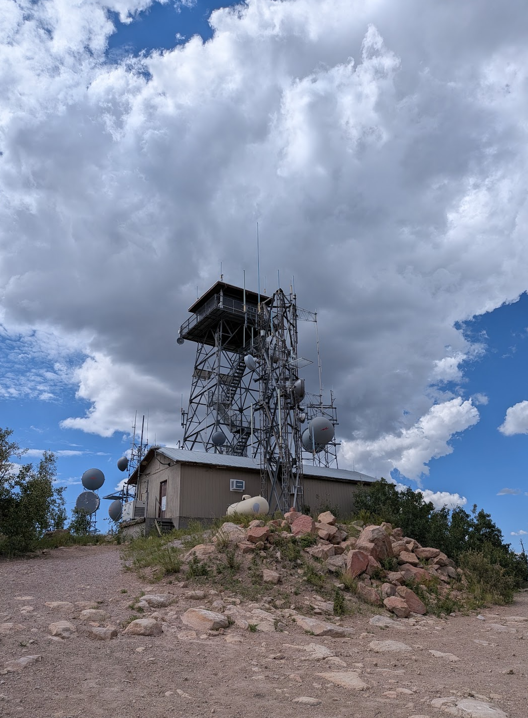
We're starting at the Mt. Elden Trailhead for this one. The first 0.50mi is a steady ascent to the base of Elden, before the route descends briefly once you're on Pipeline. After about 0.75mi from the TH, keep your eyes peeled for a faint track through the leaves as the route turns uphill and leaves Pipeline. Now you start climbing… a lot; 2,270ft in 1.25mi – woof. Once you do top out by the towers, the route swings east and takes the more mellow Elden Lookout Trail back down.
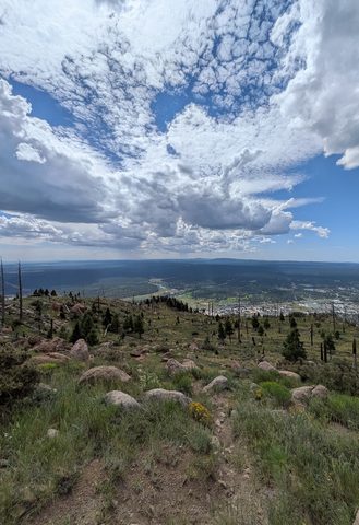
Blue Dot O' Fun asked for 2,400 feet spread across 4 miles of climbing. The Slabs asks for more than that in a little over half the distance, and it collects the bulk of it in one sustained pitch that averages better than 50 percent grade for a quarter mile - it's steep! Expect exposed rock (it IS called “the Slabs” after all) and route-finding that rewards looking up more than at your feet. Also, don't blindly follow the GPX route – it's a guide. There are sections on this route where 5-10ft is the difference between getting stuck on a ledge or not. So, be careful with route finding and don't climb up anything you can't easily climb back down. There will also be a few minor chasms between rock slabs, so coupled with the bouldery portions, this is definitely not doggo friendly. Be kind to your furry friend and leave them at home.
Full sun on the entire ascent, no water anywhere on the route, and no meaningful shade until you're off the rock and heading back down. Carry more water than you think you need. Sections of this route can be genuinely slick after rains, and the slabs are the last place on this mountain you want to be standing when a thunderstorm builds. Check the forecast.
Now the part worth chewing on while you're breathing hard. How the heck are we getting a patient off of here?! Like Blue-Dot, this is popular with runners and hikers, so although rescues on the Slabs aren’t terribly common, we do see them. So, how would we attempt to move a patient if a helicopter wasn't available? Depending on where they are, would we want to gain access from the top or from the bottom? How long would it take you to reach a subject if you had your heavy SAR pack? What about night ops on this route? You'll have some solid time on the climb to work through all of it. Along those lines, expect 3-5hrs car-to-car for this gem.
Completions (1)
-
As advertised - it's steep. Go early, it's terrifying when storms are building. As a gauge, my car-to-car was 3hr 20min.