Humphrey's Summit - The Standard Way
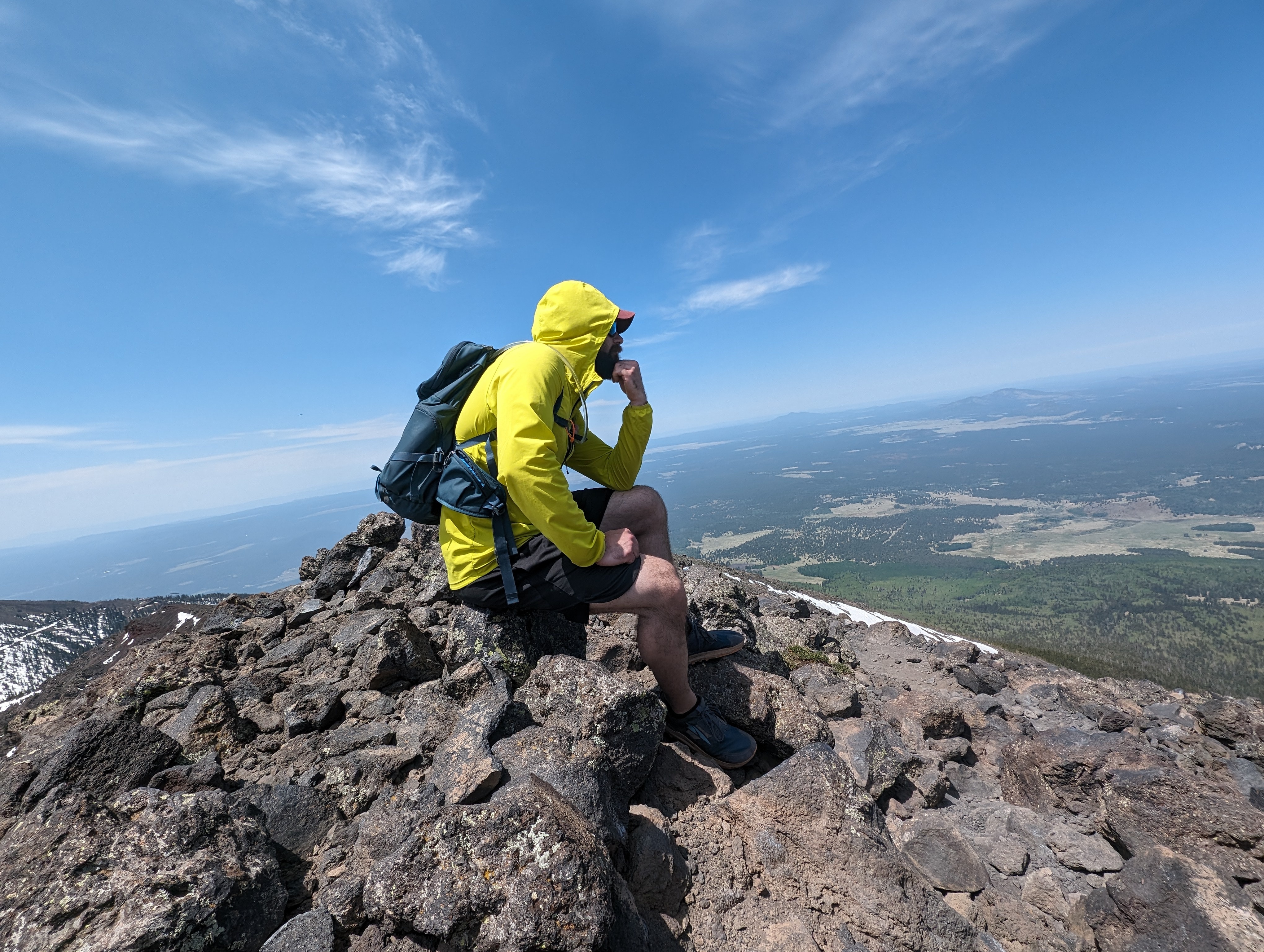
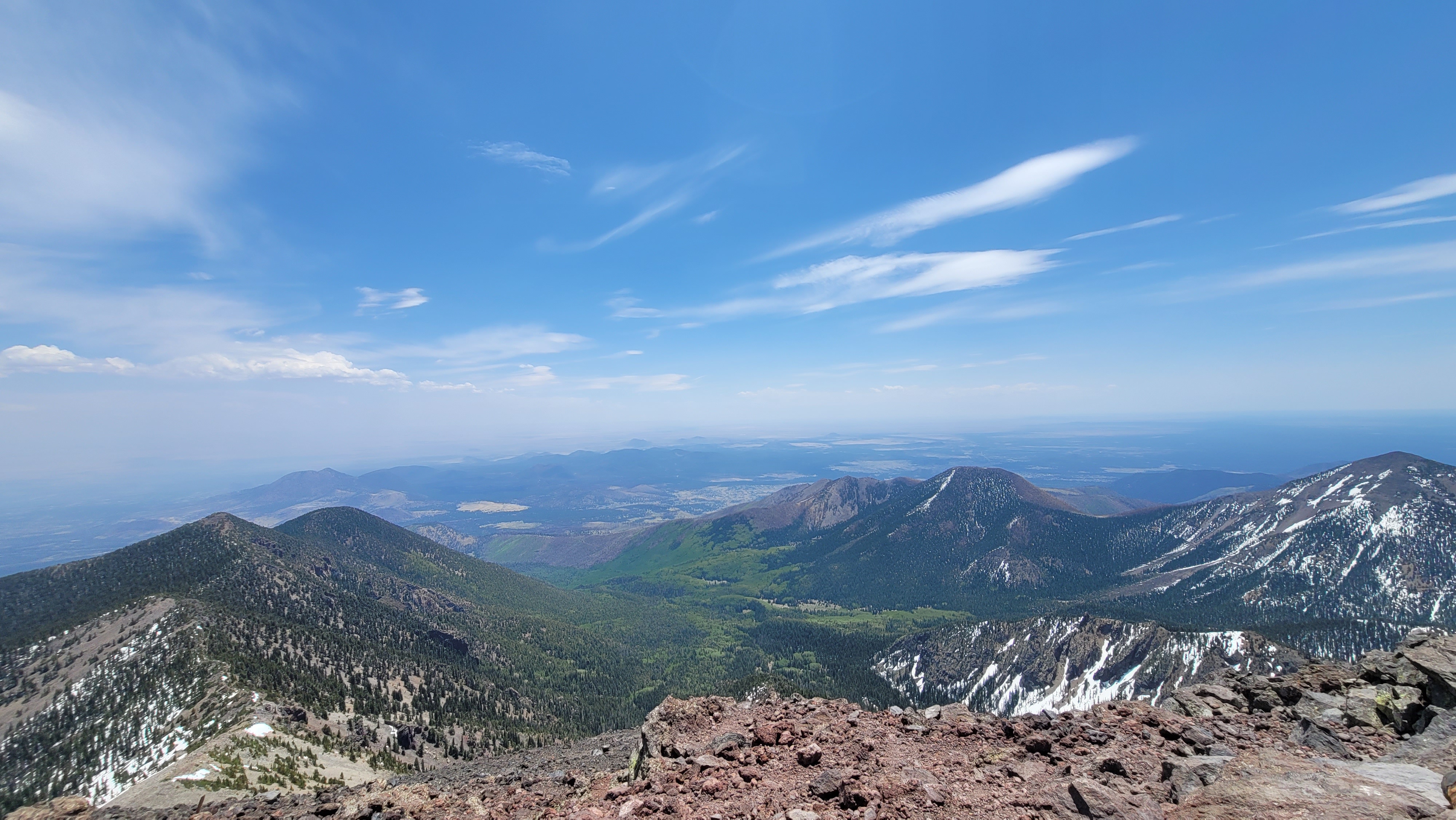
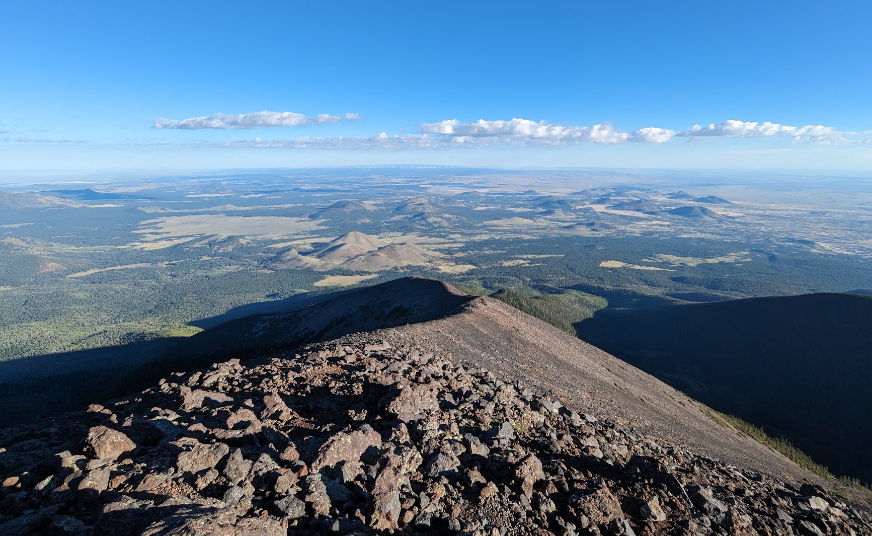
This is the one that started it all. In mid-2024, the inaugural Challenge Hike took the team up the standard route to the summit of Humphreys Peak, the highest point in Arizona at 12,633 feet. It was a fitting choice for a first outing: a route most Flagstaff hikers know by reputation, demanding enough to actually challenge a fit MRU member, and centered squarely in the heart of our response area. The trail starts at the Arizona Snowbowl ski area at 9,272 feet and climbs steadily through aspen and fir to Agassiz Saddle at 11,800 feet, where the forest gives way to the alpine zone and the wind picks up. From the saddle, the final mile traces the ridge over a series of false summits to the true high point. Total stats: 9.8 miles round trip, 3,600 feet of gain. Most parties take 6 to 9 hours, we should probably be faster than that.
The challenge here is mostly about altitude and exposure. Above the saddle you're walking on the only ground in Arizona that hosts alpine tundra, with no shelter from wind or weather and roughly 60% of the oxygen you started the day with. The standard rule applies: be off the summit ridge by noon during monsoon season, and turn around without ego if the sky changes. The route is well-traveled and easy to follow, but the trailhead's accessibility is exactly why this stretch of the Peaks sees a steady stream of incidents every summer, from altitude sickness on the upper ridge to twisted ankles on the talus to exposed parties caught in afternoon thunderstorms. Worth knowing the standard route cold, because if you spend enough time on the MRU you will end up here on a call. Better to walk it first on a good day with a duck waiting at the end.
Completions (3)
-
-
Up early and off the mountain early, hustled to get it under 4hrs.
-