Jack's Canyon Stroll
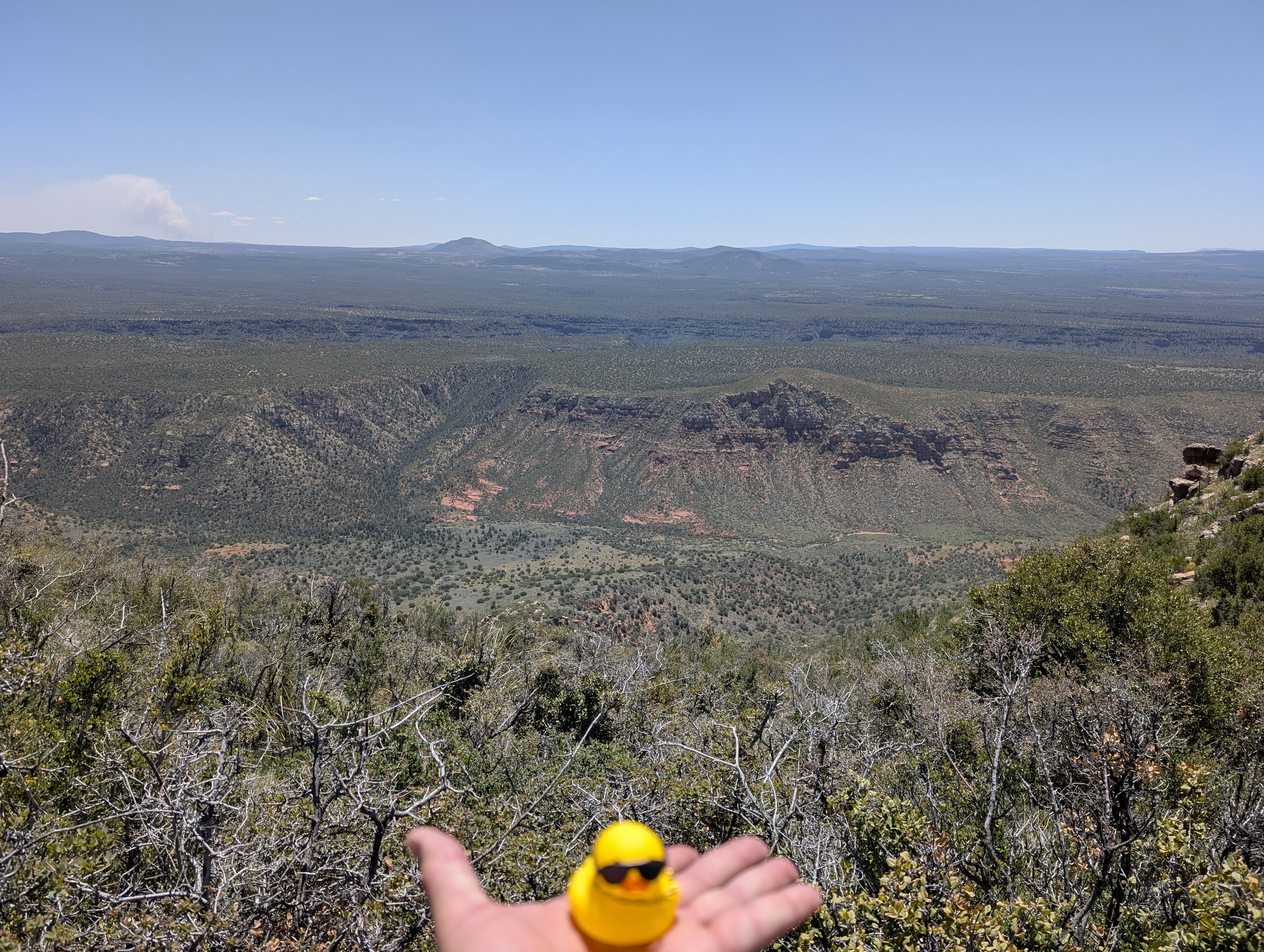
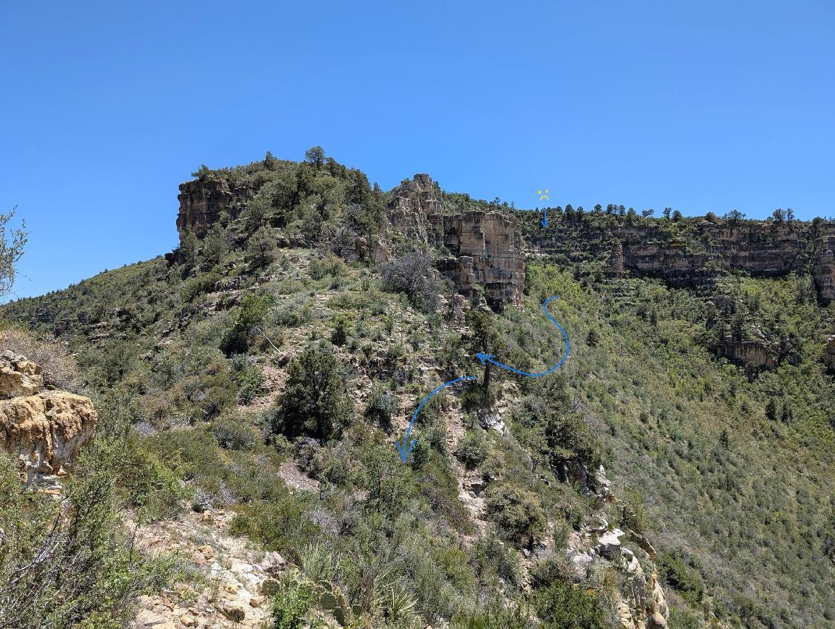
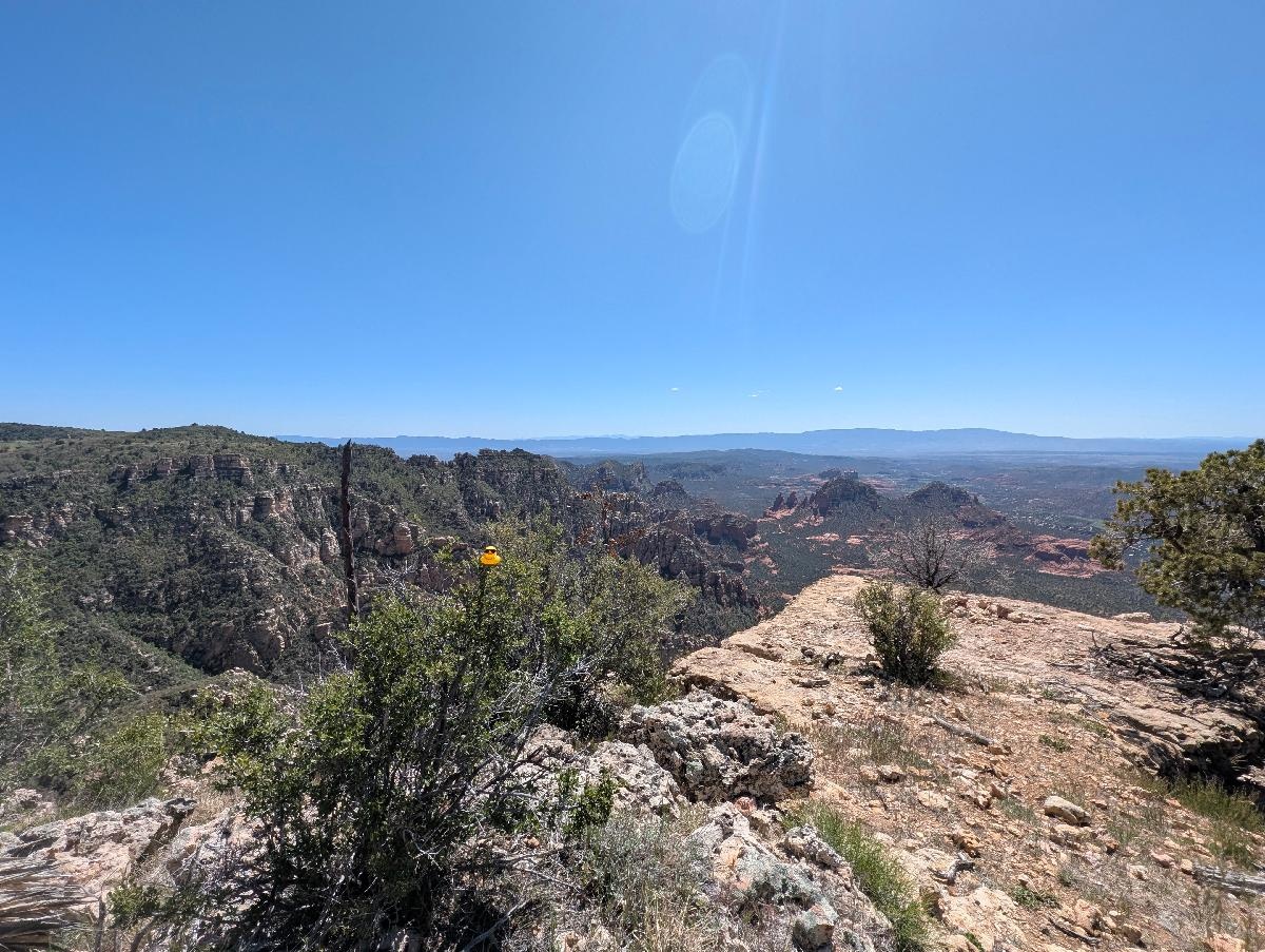
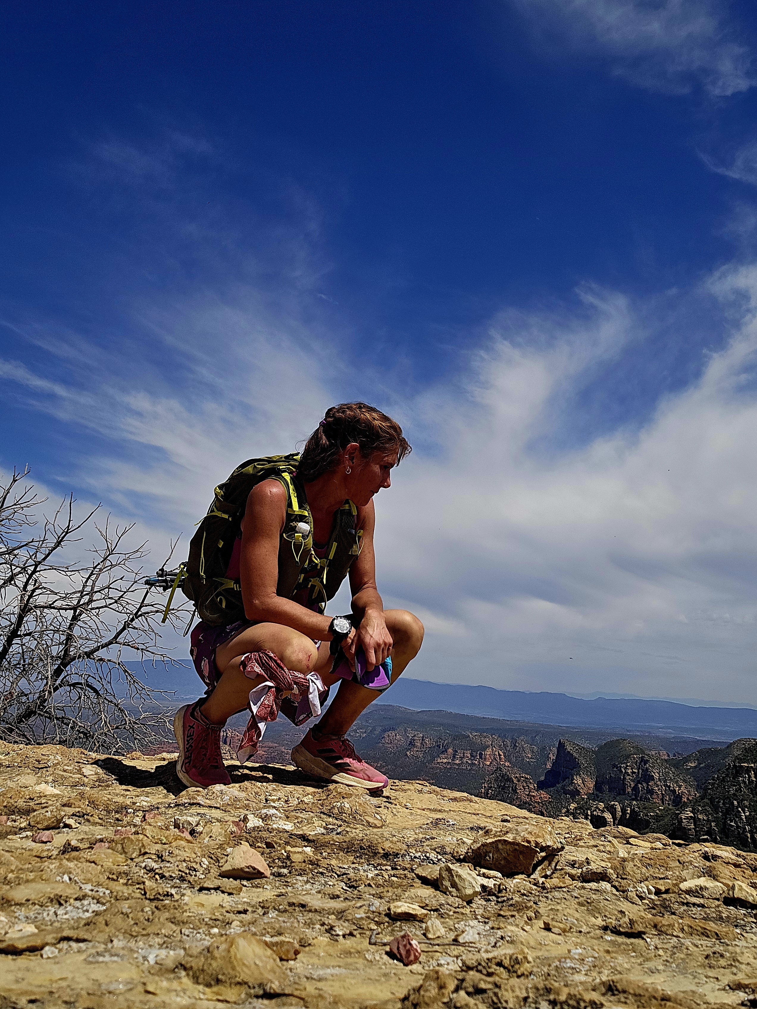
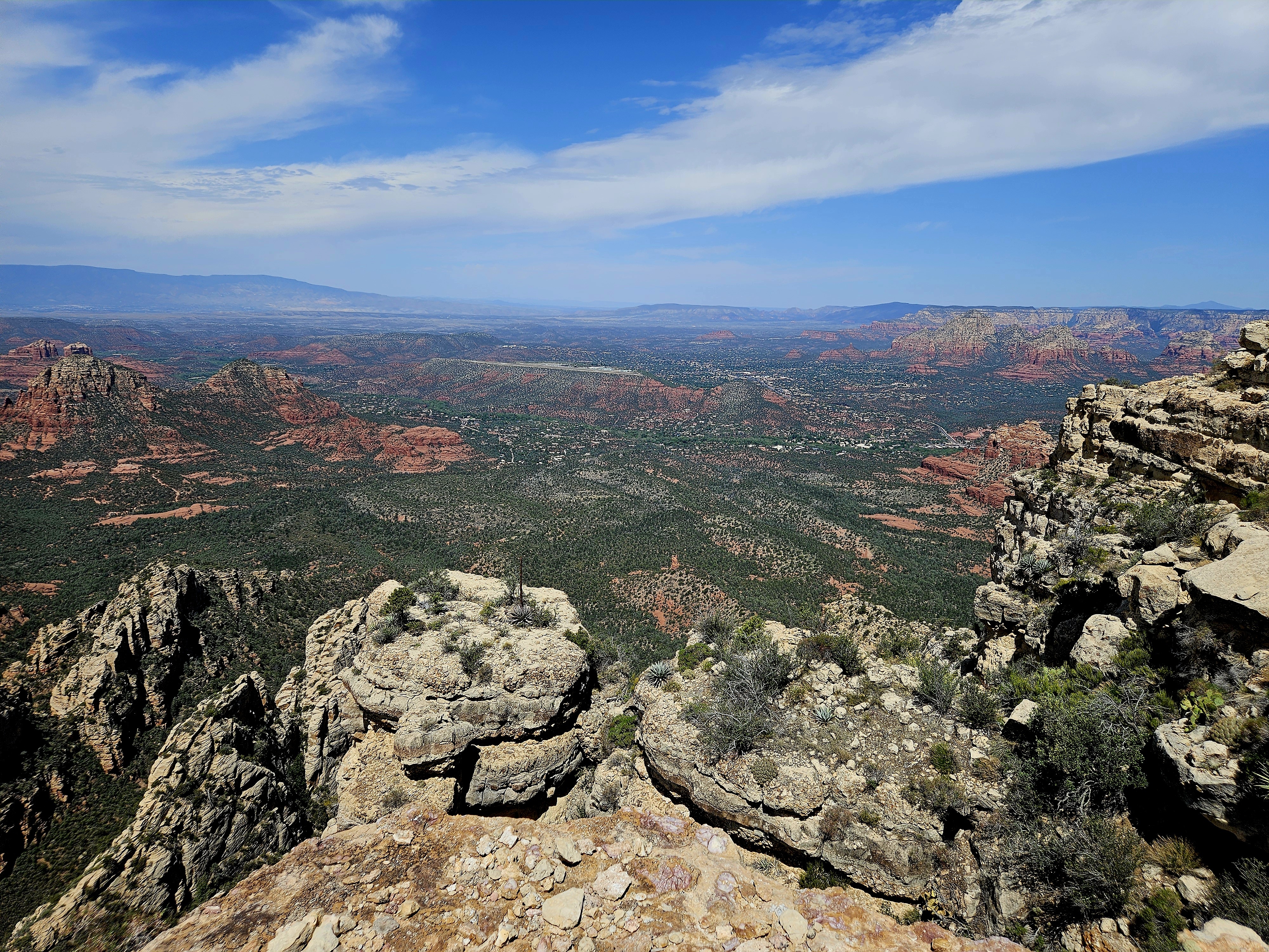
This 17-mile out-and-back climbs from the Village of Oak Creek up Jacks Canyon to the saddle below Munds Mountain, with a trip to the summit along the way. The trailhead sits at 4,281 feet just east of Highway 179, and the first mile parallels a residential subdivision through the recovering footprint of the 2006 La Barranca Fire before bending into the canyon proper. From there the route follows an old cattle trail and the canyon bottom for several miles of gradual climbing through Arizona cypress, juniper, and catclaw, before the grade steepens significantly in the final mile to the saddle. The trail at the top includes a flight of stone steps cut into the slickrock, after which switchbacks deliver you onto the saddle between Munds Mountain and the Mogollon Rim. From there, the Munds Mountain Trail climbs about a mile to the summit at 6,834 feet, where the panoramic view takes in the full sweep of Sedona's red rock formations, Oak Creek Canyon, and on clear days the San Francisco Peaks to the north. Total: 17.2 miles, 3,400 feet of gain.
This route is classic underrated Sedona country. Jacks Canyon sees a fraction of the foot traffic of Bell Rock or Cathedral and feels genuinely remote almost as soon as you leave residential area, but it sits squarely in our response area and has the ingredients for trouble: long distance, no water on route, no cell service in the canyon, and a final mile that turns the hike from "long stroll" into "actual climb" right where tired hikers tend to make poor decisions. The summit views are worth every step, but worth keeping the operational lens on too: a sprained ankle near the top of the switchbacks is a six to eight mile carry to anything resembling a road. Good country to know before you ever have to come in here on a call.
Completions (2)
-
-
Lollipop permission was granted by the Duckmaster General.